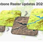
CLC+ Backbone raster product updates for the reference years 2023 and 2025 awarded
The European Environment Agency (EEA) has awarded an international consortium led by GAF AG with partners GeoVille, e-GEOS and Telespazio Ibérica, with the production of the updates of the CLC+ Backbone Raster Product for the years 2023 and 2025 as Mehr